‘Picturesque’ trail project near Chattahoochee River set to debut
‘Picturesque’ trail project near Chattahoochee River set to debut
Josh Green
Fri, 04/25/2025 – 16:30
Following more than two years of construction, a scenic trail project that puts patrons uniquely close to nature is set to officially debut north of Atlanta.
The PATH Foundation has scheduled a ribbon-cutting ceremony next Friday, May 2, for what’s called the Sandy Springs Springway Trail Phase 2A.
The “picturesque” project spans 1.88 miles, providing access to the Chattahoochee River and an off-street connection between Morgan Falls Overlook Park and the point where Roswell Road meets Cimarron Way. That’s about five miles north of Sandy Springs City Center.
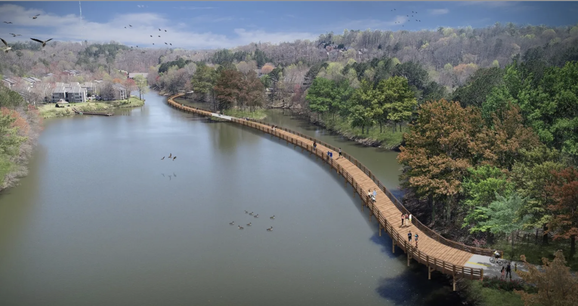
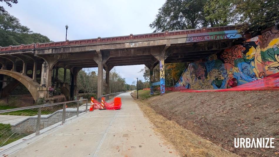
Boardwalk section of the Sandy Springs Springway Trail Phase 2A that passes over Orkin Lake. PATH Foundation

The Springway Trail project’s location, in relation to Atlanta and other north OTP landmarks. Google Maps
Included in this phase of the Springway Trail is an eight to 12-foot-wide multiuse, paved pathway, along with pedestrian bridges, roadway realignments, landscaping, and trail signage, according to PATH Foundation officials.
But the highlight has to be a sweeping boardwalk structure across Orkin Lake, situated just east of the Chattahoochee.
Construction on the project—a team effort by the City of Sandy Springs, Georgia Department of Natural Resources, Georgia Outdoor Stewardship Program, PATH Foundation, and the Sandy Springs Conservancy—began in late 2022. It’s the first segment of a much larger web of trails eventually planned for the area.
According to PATH Foundation officials, the project cost $8.5 million and was partially covered by a $3 million Georgia Outdoor Stewardship Program Grant.
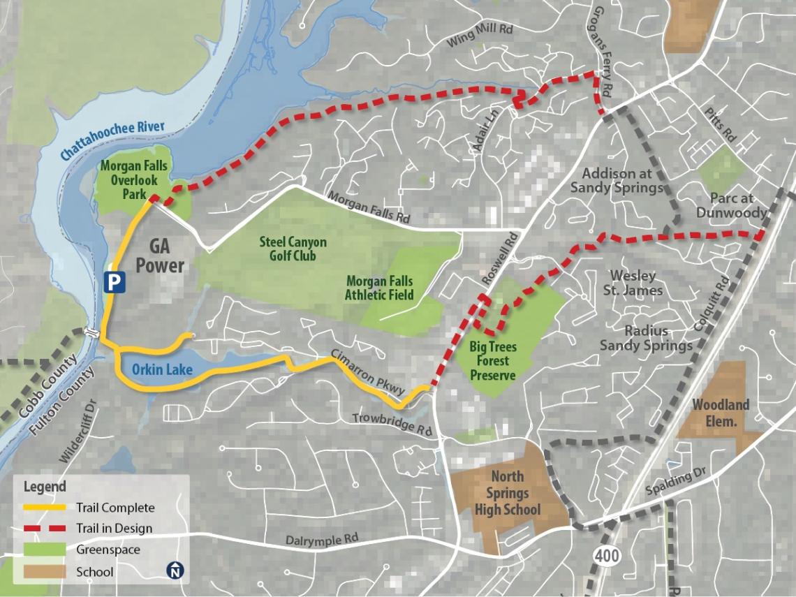
How the Sandy Springs Springway Trail Phase 2A (in solid yellow) relates to the rest of the network. PATH Foundation
…
Follow us on social media:
Twitter / Facebook/and now: Instagram
• Sandy Springs news, discussion (Urbanize Atlanta)
The Springway Trail project’s location, in relation to Atlanta and other north OTP landmarks. Google Maps
Boardwalk section of the Sandy Springs Springway Trail Phase 2A that passes over Orkin Lake. PATH Foundation
How the Sandy Springs Springway Trail Phase 2A (in solid yellow) relates to the rest of the network. PATH Foundation

‘Picturesque’ trail project near Chattahoochee River set to debut
Josh Green
Fri, 04/25/2025 – 16:30
Following more than two years of construction, a scenic trail project that puts patrons uniquely close to nature is set to officially debut north of Atlanta. The PATH Foundation has scheduled a ribbon-cutting ceremony next Friday, May 2, for what’s called the Sandy Springs Springway Trail Phase 2A. The “picturesque” project spans 1.88 miles, providing access to the Chattahoochee River and an off-street connection between Morgan Falls Overlook Park and the point where Roswell Road meets Cimarron Way. That’s about five miles north of Sandy Springs City Center.
Boardwalk section of the Sandy Springs Springway Trail Phase 2A that passes over Orkin Lake. PATH Foundation
The Springway Trail project’s location, in relation to Atlanta and other north OTP landmarks. Google Maps
Included in this phase of the Springway Trail is an eight to 12-foot-wide multiuse, paved pathway, along with pedestrian bridges, roadway realignments, landscaping, and trail signage, according to PATH Foundation officials. But the highlight has to be a sweeping boardwalk structure across Orkin Lake, situated just east of the Chattahoochee. Construction on the project—a team effort by the City of Sandy Springs, Georgia Department of Natural Resources, Georgia Outdoor Stewardship Program, PATH Foundation, and the Sandy Springs Conservancy—began in late 2022. It’s the first segment of a much larger web of trails eventually planned for the area. According to PATH Foundation officials, the project cost $8.5 million and was partially covered by a $3 million Georgia Outdoor Stewardship Program Grant.
How the Sandy Springs Springway Trail Phase 2A (in solid yellow) relates to the rest of the network. PATH Foundation
…Follow us on social media: Twitter / Facebook/and now: Instagram • Sandy Springs news, discussion (Urbanize Atlanta)
Tags
200 Morgan Falls Road
Sandy Springs
Sandy Springs News
Sandy Springs Springway Trail Phase 2A
Orkin Lake
Morgan Falls Dog Park
City of Sandy Springs
Georgia Department of Natural Resources
Georgia Outdoor Stewardship Program
PATH Foundation
Sandy Springs Conservancy
Springway Trail
Georgia Outdoor Stewardship Program Grant
Atlanta Trails
Atlanta Bike Paths
Sandy Springs Parks
Atlanta Parks
Chattahoochee River
OTP
Atlanta Suburbs
Images
The Springway Trail project’s location, in relation to Atlanta and other north OTP landmarks. Google Maps
Boardwalk section of the Sandy Springs Springway Trail Phase 2A that passes over Orkin Lake. PATH Foundation
How the Sandy Springs Springway Trail Phase 2A (in solid yellow) relates to the rest of the network. PATH Foundation
Subtitle
Scenic phase of Sandy Springs Springway Trail includes sweeping boardwalk
Neighborhood
Sandy Springs
Background Image
Image
Before/After Images
Sponsored Post
Off Read More
Related Posts

This Week’s Atlanta Deal Sheet: Cortland Pays $71M For Armour Yards Apartments

Adam Neumann’s Flow In Talks To Sell Stake In 425-Unit Buckhead Tower

Tariff Turmoil Prompts Companies Searching For Atlanta Offices To ‘Hit The Pause Button’

City Greenlights 1.2M SF Amsterdam Walk Redo Despite Opposition

Insurance Giant Unum Taking Over Tech Firm’s Big Office At The Terraces

Institutional Money Floods Senior Housing As Demand Booms, Banks Stay Away
Walmart to remodel 20 stores in Georgia, including 4 near Atlanta
Walmart to remodel 20 stores in Georgia, including 4 near Atlanta
Atlanta Streets Alive’s 2025 season begins this weekend. Hurray!
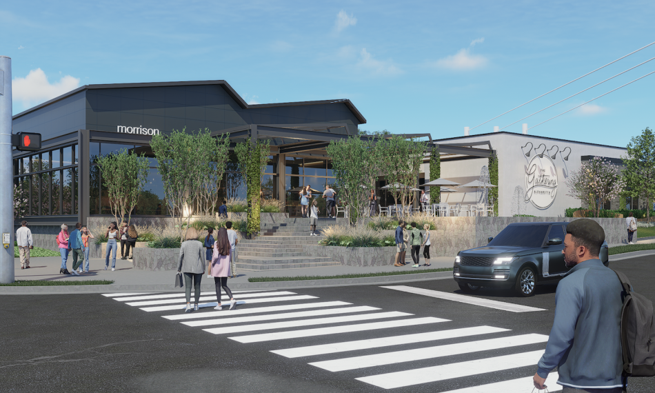
California-inspired, 7-building retail hub bound for Alpharetta
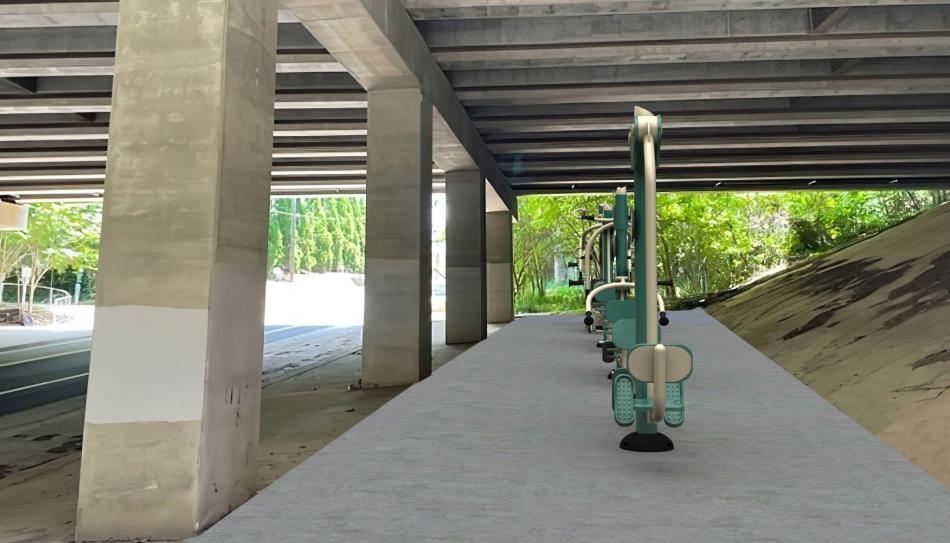
Buckhead is installing an outdoor gym—under a freeway
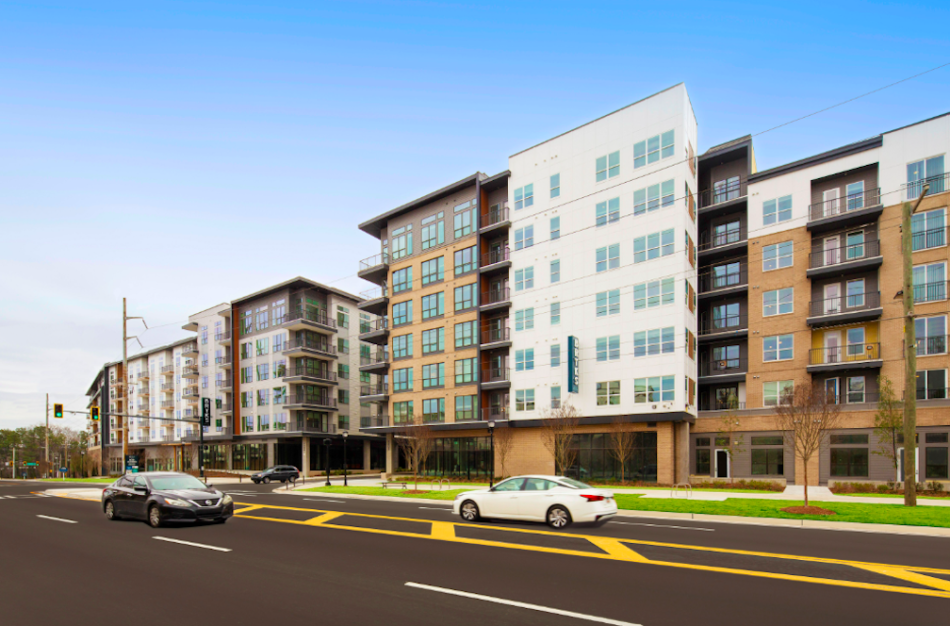
Photos: How ‘Upper Westside’ build with nearly 600 homes turned out

Downtown’s Olympic fountains are back—with fresh tech, daily shows

Crescent, GTIS Teaming Up on Charlotte Warehouses

Mixed-Use Project Planned for Blandtown
Here are the largest homebuilders in metro Atlanta
Here are the largest homebuilders in metro Atlanta

BizSpotlight: Halpern Enterprises Inc.
Halpern Enterprises...
BizSpotlight: Halpern Enterprises Inc.
Halpern Enterprises...
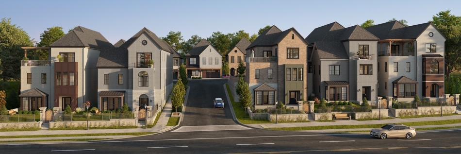
Swanky ‘Ronara’ to continue downtown Alpharetta densification

Work on Massive Nashville Rental Community Underway

Atlanta Beltline-adjacent pickleball complex sets opening date
Near Underground Atlanta, ‘transformative,’ multi-building project moves forward

Davidson Craven Planning 3M-SF Lexington Industrial Park

CBRE has arranged...

Mall’s sweeping redevelopment takes step closer to reality

JW Mitchell Unloads Two SE Warehouses
Master-Planned Community to Bring Housing, Retail and More to Bartow County

Atlanta Office Market on Rebound

Branch Properties Greenlighted for Gainesville Town Center

Driftwood Secures Financing for Atlanta Hotel
Rank...
Georgia’s Top Community Association Management Cos.
Rank...

Meet the Best Atlanta Neighborhood 2024 tourney Final Four!

Sultry visuals preview Midtown tower set to open next year

Here now, our top 10 most popular stories of 2024

Luxury Home Hits the Brookhaven Market

Developer Trio Teaming Up on $500M Charlotte Development

Lion Acquires 3rd Charlotte Rental Asset

Partial Redevelopment Proposed for Office Property in Alpharetta

City-Centered Living: Colonial Estate on 3.3 Acres in Northwest Atlanta
Redevelopment Planned for Downtown Carrollton Retail Center
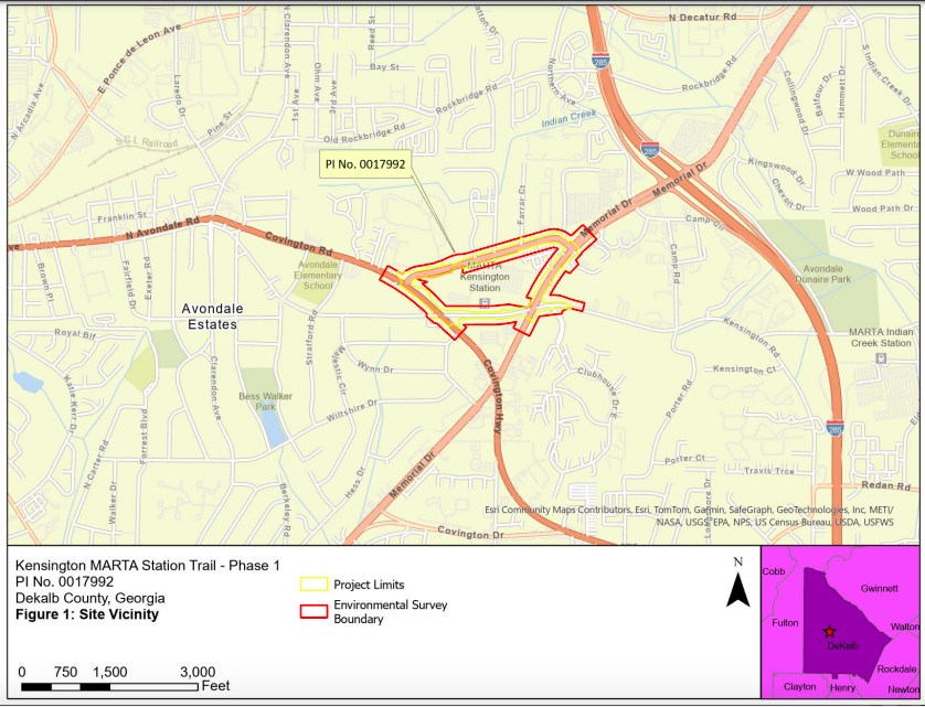
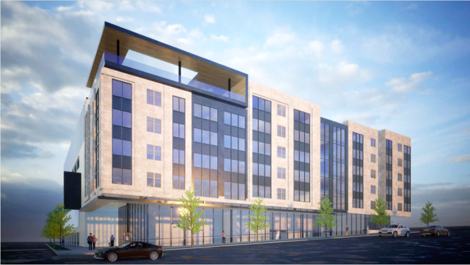
Bike, pedestrian trail system in pipeline around MARTA station

Stream Eyeing 1.3M-SF Atlanta-Area Data Center

Partners Real Estate Southeast Region President John O’Neill III thankful for firm’s Atlanta growth
Partners Real Estate Southeast Region President John O’Neill III thankful for firm’s Atlanta growth
Atlanta rent prices drop again in October in 15th straight month of national decline
Atlanta rent prices drop again in October in 15th straight month of national decline

Atlanta firm acquires Vinings office building for $15M
Atlanta firm acquires Vinings office building for $15M
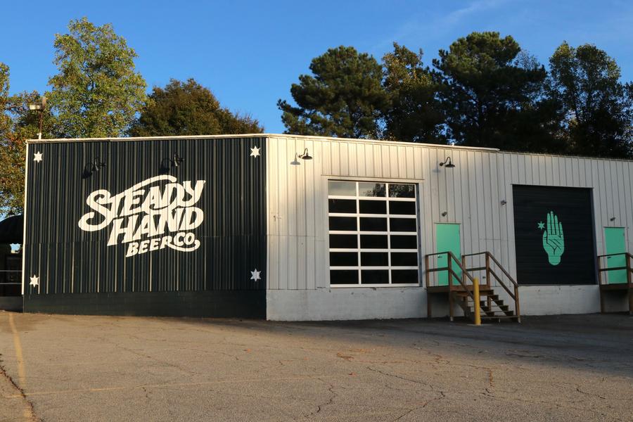
Atlanta brewery Steady Hand Beer closes after six years
Atlanta brewery Steady Hand Beer closes after six years
8 random reasons to be thankful for Atlanta right now
Historic property with Outkast ties floated for redevelopment

EoS Fitness to Open 50 Georgia Locations

KISCO Obtains $71.3M Refi of Greensboro Sr. Care Facility
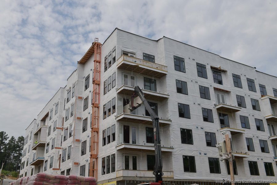
Images: English Avenue project with nearly 400 units tops out
Lakeshore Mall in Gainesville targeted for redevelopment


S2 Capital Lands 618-Unit Atlanta Rental Asset
Rank Firm...
Atlanta’s Largest Commercial Interior Design Firms
Images: MARTA’s $150M transit hub in Clayton County officially a go
Star Metals District to expand with three towers, including West Midtown’s tallest
Star Metals District to expand with three towers, including West Midtown’s tallest
Work continues on Virginia-Highland’s mystery hole; builders mum

Toro secures financing for $560 million Johns Creek project
Toro secures financing for $560 million Johns Creek project

BizSpotlight: Revesco Properties Trust
The acquisition...
BizSpotlight: Revesco Properties Trust
The acquisition...

Bowling alley closures are piling up. Many are being forced to pick a lane.
Bowling alley closures are piling up. Many are being forced to pick a lane.

Historic Nashville Offices Up for Sale
Sneak peek: New Atlanta Beltline section to debut in coming days

Developer picked, vision emerges for historic, ailing Atlanta landmark